Blog·
How to calculate sighting distance to a trackside signal
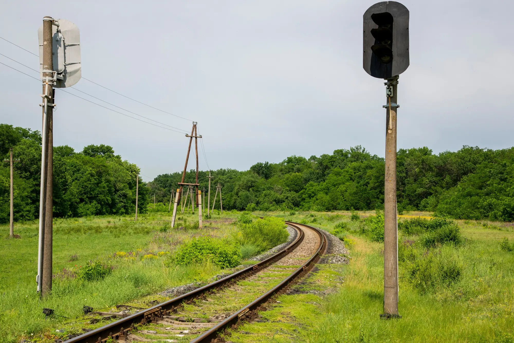
Every signal on your territory has a required sighting distance attached to it, worked out from the line speed past that signal and the assumptions your rulebook makes about how a driver reacts to what they see. The number on paper is fixed until the next speed change. The number on the ground, the distance a driver can actually see the signal from, moves every growing season. That gap is where most sighting-distance problems live.
The variables that go into the number
The core calculation is the same shape across most territories, even though the tables and constants differ: how far back from the signal does a driver need a clear line of sight, given how fast the train is moving and how long it takes a driver to see the aspect, identify it, and act on it.
Three things feed that number:
Approach speed. Faster trains need more distance, full stop. A signal passed at 100 km/h needs a longer sighting distance than the same signal passed at 40 km/h, because the train covers more ground in the same reaction window.
Driver reaction time. Rulebooks build in an allowance for the time between a driver seeing a signal and responding to it. Your infrastructure authority's signalling standard sets that figure, and it varies by signal type (home, distant, repeater) and by whether the signal is viewed on approach or at an angle.
Braking or response assumption. Depending on the signal type, the required distance might assume the driver needs to stop before a conflict point, or simply needs enough warning to prepare for what the next signal shows. This is the part that differs most between rulebooks, so the right move is always to pull your own territory's signal sighting standard rather than borrow a number from somewhere else.
Multiply those together with whatever formula your standard specifies, and you get a required sighting distance for that signal at that speed. That's the target. The site survey tells you whether you're hitting it.
Where vegetation moves the answer
The calculation gives you a number in meters. Getting that number on the ground is a site problem, and vegetation is usually the biggest variable in it. A stand of self-seeded ash or a hedge line that was fine three growing seasons ago can quietly eat into the sighting triangle without anyone touching a speed board or a signal.
The tricky part is that encroachment doesn't announce itself evenly. A cutting that's clear at chainage 42.1 can have a blind spot forming at 42.3 where growth is coming up from the cess at exactly the height and angle that blocks a driver's eyeline into a curve. Walking the whole route to catch that, signal by signal, every year, is the part that eats field time.
Checking it once isn't enough
A required sighting distance calculated against today's speed limits and today's signal layout holds only until the vegetation changes, and vegetation changes continuously. Sighting distance needs a recurring check, ideally on the same cadence as your vegetation clearance program, so the two findings land on the same desk.
Rail Vegetation Monitoring runs that recurring check against imagery across the corridor rather than relying on a walking survey to catch every signal, producing a yearly table of encroachment locations and any signal where sighting distance looks reduced, so you know which ones need a look before they become a compliance finding. If your current process is a spreadsheet of signal locations and a hope that the gang notices before it's a problem, that's worth fixing before next season's growth closes in.